CROP HEALTH & AERIAL IMAGING
Know Your Field
From Above.
Use aerial imagery as another tool for scouting, comparison and field documentation.
FIELD INTELLIGENCE
Find patterns that deserve a closer look.
Aerial imagery can help visualize differences across a field and guide where boots-on-the-ground scouting should happen.
Sensor choice and project goals determine what information can be collected.
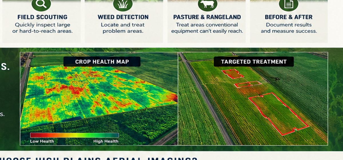
Scouting
Inspect large and difficult-to-access areas efficiently.
Weed Detection
Identify areas that may need closer scouting or treatment planning.
Repeat Monitoring
Capture imagery at different times to compare conditions.
Before & After
Document field conditions around management changes.
Imagery is a scouting tool.
Aerial imagery can identify areas worth investigating; it does not by itself establish the cause of crop stress or replace agronomic diagnosis.
See More. Know More. Do More.
Get a broader view of the field, then use it to decide where a closer look on the ground makes the most sense.