Agriculture & Drone Spraying
Crop work, field imaging, livestock visibility and application support for Wyoming farms and ranches.
Learn about agriculture →WYOMING DRONE SERVICES
That means getting a clear view of your field, ranch, site or equipment, understanding what you are looking at, and having useful information for the next decision.
A CLEARER VIEW
Photos, video and mapping that help you check the work, the property or the problem.
TWO SIDES OF THE BUSINESS
Whether you are working a field, checking a ranch, watching a job site or inspecting equipment, we help you get a useful view without wasting time getting to every corner on the ground.
AGRICULTURE
Crop health • Drone spraying • Field mapping • Ground squirrel control • Livestock visibility
Explore Agriculture →ENTERPRISE
Oil & gas • Construction • Thermal • Mapping • Real estate • Asset monitoring
Explore Enterprise →OUR SERVICES
Crop work, field imaging, livestock visibility and application support for Wyoming farms and ranches.
Learn about agriculture →Pipeline, facility and infrastructure inspection with high-resolution visual and thermal imaging to help identify issues earlier.
Request an oil & gas quote →Document progress, inspect hard-to-reach areas, measure site materials and maintain a clear visual record from above.
Request a construction quote →Non-contact thermal imaging helps locate heat anomalies, equipment concerns, potential leaks and areas requiring closer inspection.
Request a thermal inspection quote →Maps, 3D models and clear site images that help you plan, measure and keep a record of the work.
Request a mapping quote →Large-acreage observation, livestock monitoring and ranch visibility without putting people or vehicles into every remote area.
Request a ranching quote →Aerial inspection and documentation for roofs, exteriors, acreage and hard-to-reach property conditions.
Request a real estate inspection quote →High-resolution visual inspection of roofs, structures, equipment and hard-to-reach areas while reducing unnecessary access risks.
Request an inspection quote →INDUSTRIES
WHY USE A DRONE?
Aerial imaging can provide a fast, repeatable view of large areas and difficult-to-access assets. We match the flight and imaging approach to the project.
Reduce unnecessary climbs and difficult site access when aerial inspection is appropriate.
Capture large or remote areas efficiently and create useful visual records.
Establish visual baselines for progress, maintenance and future comparison.
Use high-resolution visual and thermal information when the project calls for it.
WHERE WE HELP
From the field to the job site, we bring a better view to work that is spread out, hard to reach or time-consuming to check from the ground.
See more of the ground without spending the day driving it.
Clear visual and thermal information when a closer look matters.
Cover more country and keep a better eye on what is out there.
FIELD-READY AERIAL SERVICES
From crop fields and ranches to pipelines, construction sites and commercial properties, we bring back the photos, video and mapping you need to see what is happening and decide what comes next.
Spraying, crop imaging, mapping and livestock visibility.
Request an Agriculture Quote →Progress documentation, measurements and site visibility.
Request a Construction Quote →Commercial inspections, mapping and aerial documentation.
Request an Enterprise Quote →ABOUT HIGH PLAINS AERIAL IMAGING
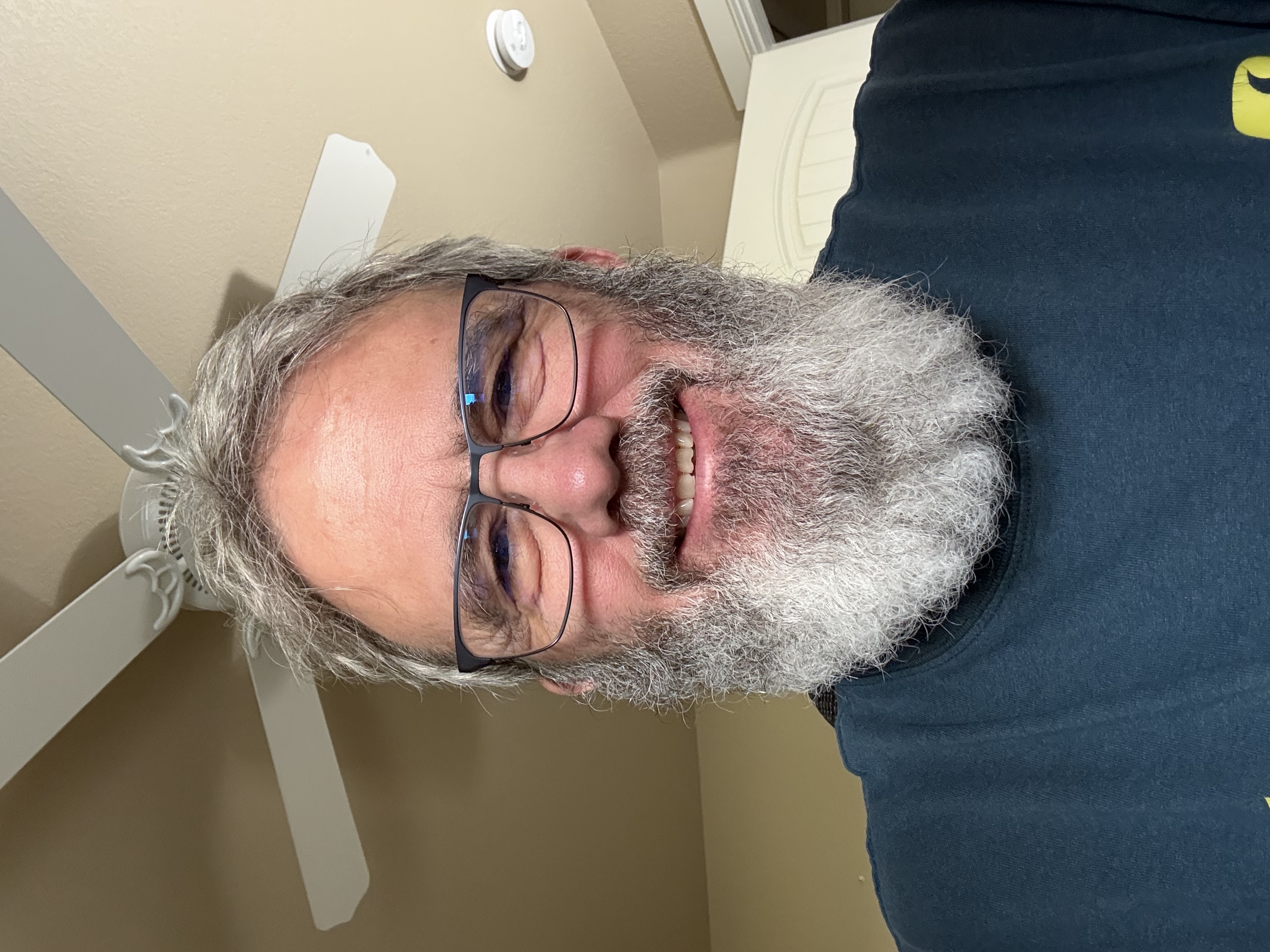
High Plains Aerial Imaging is owned by a Navy veteran who served aboard CV-43 with VA-55 as an AMH aircraft hydraulics mechanic. That experience built a simple work ethic: be prepared, do the job right and take responsibility for the result.
After the Navy, I worked in construction as a journeyman electrician in Alaska, owned a trucking company, and led projects and operations. I understand the value of clear communication, solid planning and following through when the work has to get done.
I was born in Iowa, raised in Wyoming, and spent four summers on my grandparents' farm. That is where my respect for the agriculture community comes from. The people who work the land deserve service that is straightforward, dependable and built around the real demands of the day.
Today, High Plains Aerial Imaging brings that same approach to drone imaging, inspection, mapping and agricultural work across Wyoming.
Navy Veteran • Wyoming Raised • Fully Insured • FAA Part 107 Certified
SERVICES & PRICING
High Plains Aerial Imaging provides professional aerial imaging, inspection, mapping, agricultural and documentation services throughout Wyoming and surrounding areas.
01
Starting at $14/acre
Precision agricultural drone applications with pricing based on product, acreage, terrain and application requirements.
Customer supplies chemicals and water. High Plains Aerial Imaging supplies the agricultural spray drone, application equipment, mixing tank, hot tank, rinse tank and operational equipment.
Minimum service fee: $250–$400. Agricultural spraying is available within Wyoming.
Request an Agriculture Quote →02
Custom Quote
Thermal aerial imaging for identifying crop temperature patterns and areas of field variability that may warrant additional evaluation.
03
Starting at $750
Aerial inspection and documentation for pipelines, facilities and oilfield equipment.
04
Starting at $750
Visual and thermal aerial inspection services for structures, equipment and facilities.
05
Starting at $500/visit
Aerial documentation designed to help project managers monitor progress without slowing the operation down.
06
Starting at $750
Turn aerial data into useful mapping and documentation for construction, agriculture, ranching, land and commercial projects.
07
Starting at $500
Aerial visibility and documentation for ranch properties, livestock and difficult-to-access areas.
08
Starting at $500
Aerial inspection and documentation for properties, roofs, exteriors and difficult-to-access areas.
Real estate services are provided for inspection and documentation purposes, not listing or marketing photography.
Request a Real Estate Inspection Quote →09
Starting at $750
Professional visual and thermal aerial inspection for commercial properties, facilities, structures and equipment.
All prices shown are starting rates. Final pricing may vary based on project scope, acreage, site access, terrain, travel, equipment requirements, turnaround time and what you need us to provide. Custom quotes are available for larger, recurring, multi-site and specialized projects.
TRAVEL & MOBILIZATION
Travel up to 60 miles is included at no additional charge for standard drone services.
Projects beyond 60 miles may incur a travel or mobilization charge based on distance, time and project requirements.
Agricultural travel is handled separately and may include a mobilization charge based on field location, acreage, project scope and equipment requirements.
Agricultural drone spraying services are available within Wyoming.
WYOMING SERVICE AREA
Remote locations, large properties and difficult-to-access assets are part of the job. Our primary Wyoming service area includes Natrona, Converse, Niobrara, Carbon, Albany, Platte, Goshen, Laramie and Fremont Counties. Contact us to discuss projects outside that area.
Field imaging, crop scouting, drone spraying and prescription applications.
Large-acreage observation, livestock monitoring and ranch infrastructure visibility.
Pipeline, facility, equipment and thermal inspection support.
Progress documentation, mapping, inspections and aerial records.
START A PROJECT
Tell us the location, type of work and what you need documented. We'll discuss the scope and deliverables with you.